The Department of Climate Change and Meteorological Services has given an update to Malawi nation that FREDDY will return. The storm is currently classified as Severe Tropical Storm as it continues to intensify in the Mozambique channel. FREDDY expected to take the northwesterly trajectory moving at a speed of 7km/h away from the coast of Madagascar heading towards Mozambique coast with an estimated maximum wind speed of 130 km/h.
Projections maintain a very high chance that FREDDY will return and make a second landfall over Mozambique by Friday. The exact landing position is not certain but is likely to be between Beira and Nampula. After landfall, there is also a chance of the cyclone to move to Southern Malawi.
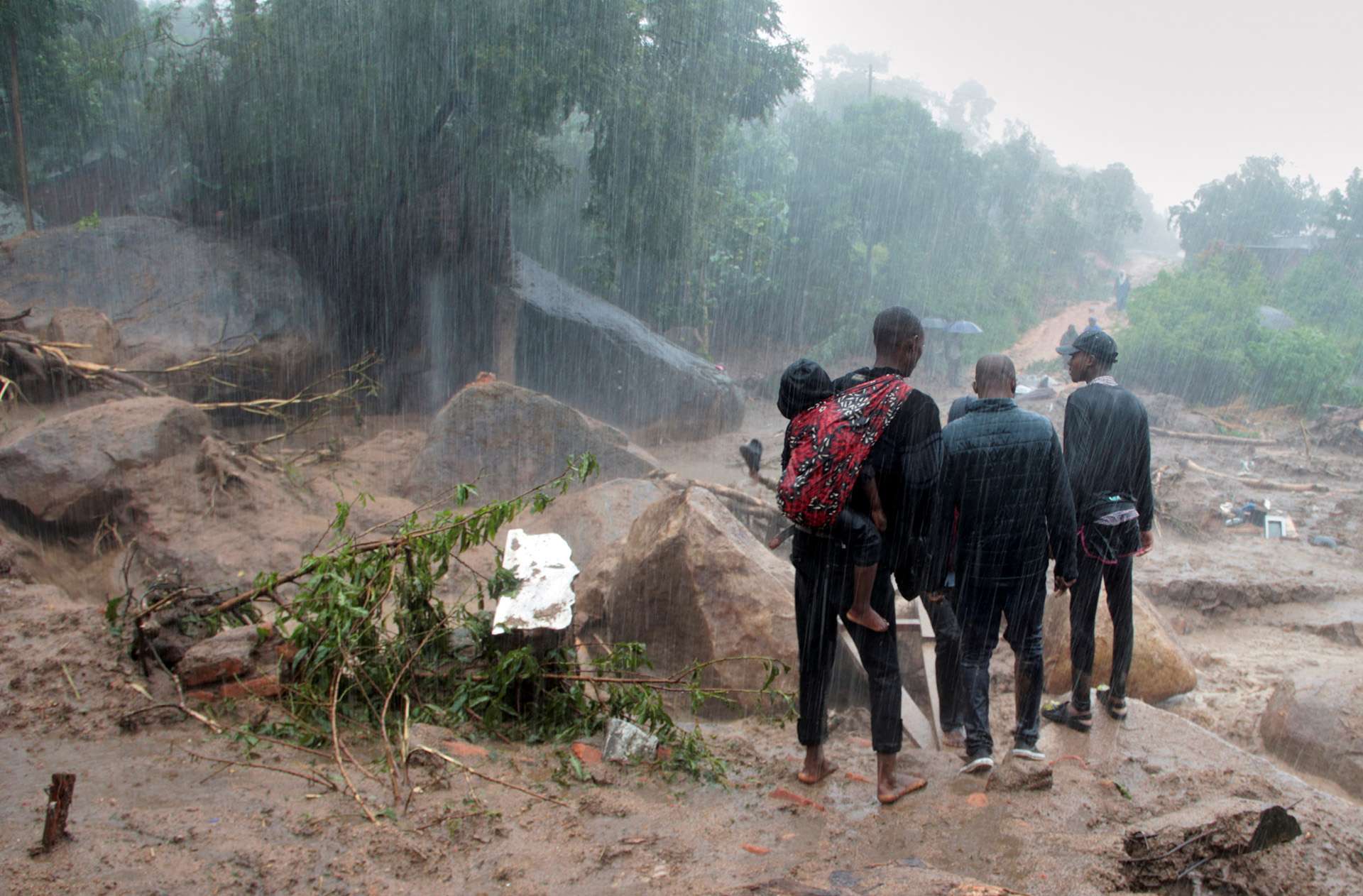
The current position of Severe Tropical Storm FREDDY does not pose direct threat to Malawi; but it is indirectly inducing influx of Congo air mass into the country. However, the direct effects (heavy rainfall associated with strong winds) over Southern Malawi are anticipated from Friday after the cyclone makes landfall over Mozambique Coast.
The Department further alerts people to avoid crossing flooded waters and streams at all times as the threat of flash flooding remains high over Lakeshore and some northern and central areas as locally heavy rains persist. The Southern Malawi is cautioned on heavy rainfall associated with strong winds from Friday. Therefore, Malawians are reminded to inspect the strength of buildings and structures. Unblocking waterways and drainages is paramount.
Meanwhile, DCCMS will continue to monitor the movement and strength of FREDDY. Any possible changes on its impacts on Malawi weather will be communicated to the nation accordingly.
Leave a comment